The last flight of the 2011 season (and one of our largest ever with 3282 photographs) is now online at our Flickr site. This flight took us out into the beautiful desert mesa landscapes beyond Azraq, and then into a previously unvisited area of the basalt country. We revisited some old friends (Maitland's fort and Tell A - impressive sites originally named by RAF pilots on the Cairo-Baghdad airmail route in the 1920s) and photographed hundreds more sites for the first time, including some unexpected kites not visible in Google Earth. Here's a sample:
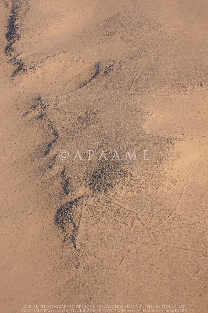
Nukheila Kite 1, Nukheila Kite 2. APAAME_20111027_MND-0447 Photographed by Mat Dalton
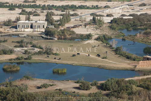
Azraq Shishan Pools. APAAME_20111027_MND-0447 Photographed by Mat Dalton
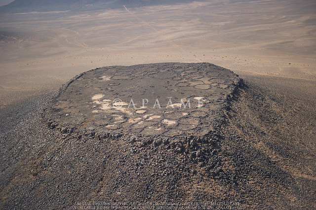
'Maitland's Fort'. APAAME_20111027_DDB-0611 Photographed by Don Boyer
Wednesday 16 November 2011
Final flight of the season online!
Labels:
2011 flying season,
Azraq Oasis,
Kites,
Maitland's Fort
Thursday 3 November 2011
Homeward bound
Tomorrow will see our last day in Amman for this year's season of flying. It has been a spectacular six weeks with over 30 hours of flying undertaken and over 10 000 photographs taken. We would like to thank the British Institute, Amman (BI) and the Royal Jordanian Air Force (RJAF) for once again accomodating us in Jordan and for their continual enthusiasm for our project. We would also like to thank the many individuals that make this project a success, both on the ground and in the air, and the colleagues who have approached us and taken our flying in new directions.
Wednesday 2 November 2011
Invisible kites
On our last flight, 20111027, we found something we never knew we had lost, a series of kites across the desert of Jordan that had almost been completely swallowed by the desert sands. These kites were not visible on satellite imagery available through Google Earth and Bing Maps which we use for a preliminary survey of the area before we fly. It was only through low level aerial reconnaisance that we were made aware of their presence. The state of preservation of these kites is so poor that they again disappeared when viewed at low oblique levels and would be completely invisible to anyone driving or walking past.
APAAME_20111027_REB-0360. |
APAAME_20111027_REB-0362. |
Labels:
2011 flying season,
20111027,
Aerial Archaeology in Jordan,
Aerial Imagery,
Aerial reconnaissance,
Bing Maps,
Google Earth,
Kites
Subscribe to:
Posts (Atom)